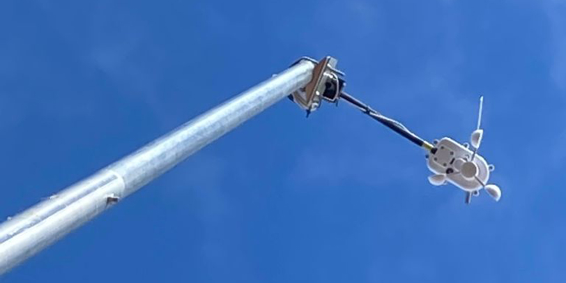
TecnoVeritas implements its own AIS (Automatic Identification System)
Last week, TecnoVeritas has implemented its own AIS (Automatic Identification System), allowing BOEM’s clients to access their ship performance in real-time as well as other important parameters to optimization of energy and emissions. The station has the GPS coordinates: latitude 38,94947 and the longitude -9,41223. It can also measure the direction and intensity of the wind.
“The Automatic Identification System (AIS) is a short-range coastal tracking system currently used on ships. It was developed to provide identification and positioning information to both vessels and shore stations.
Ships of 300 gross tonnage or more sailing on international voyages, cargo ships of 500 gross tonnage or more sailing in local waters, and all passenger ships irrespective of size are mandated by the International Maritime Organization (IMO) to carry AIS equipment. AIS transponders automatically broadcast information at regular intervals. Navigational status data is transmitted every 2 to 180 seconds, depending on a vessel’s activity. In addition, voyage related data is broadcast every 6 minutes. These signals are received by AIS transponders installed on other ships or by land-based systems.
The AIS signals have a horizontal range of about 40 nautical miles (74 km), meaning that AIS traffic information is only available around coastal zones or in a ship-to-ship zone. AIS communication takes place using two VHF frequencies, 161.975 MHz and 162.025 MHz, using a bandwidth of 25 kHz. Although only one radio channel is necessary, each station transmits and receives over two radio channels to avoid interference problems, and to allow channels to be shifted among ships without loss of communication.” Source: European Space Agency
TecnoVeritas has improved its service on shipping decarbonisation. Easily, BOEM users can access the vessel emissions and recommendations on the vessel.


